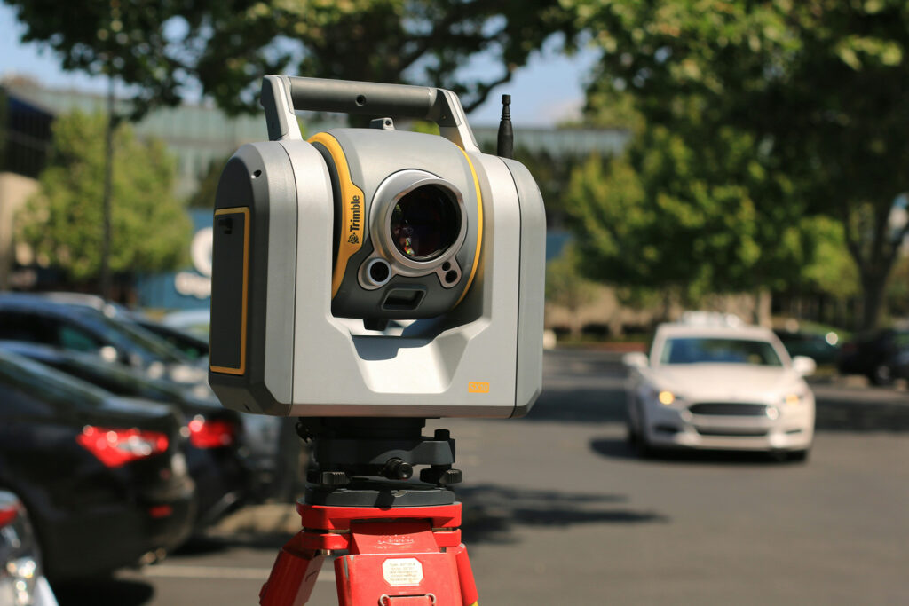
LiDAR—short for Light Detection and Ranging—is a remote sensing technology that uses rapid laser pulses to measure distances with extreme precision. These measurements create detailed, three-dimensional maps of physical environments, both indoors and out.
Unlike traditional GPS-based mapping, LiDAR doesn’t rely on satellite signals. Instead, it emits thousands of laser pulses per second, calculates how long each pulse takes to bounce back from surfaces, and compiles that data into a “point cloud” that forms a digital 3D model of the space.
Why Does LiDAR Matter?
In complex spaces like shopping malls, airports, and commercial real estate developments, accurate spatial data is essential for efficient navigation, smart planning, and enhanced customer experience. LiDAR provides:
- Centimeter-level accuracy for indoor and outdoor mapping
- Real-time spatial awareness, ideal for dynamic environments
- Scalable scanning across multi-story buildings, large venues, or city districts
How MapVX Uses LiDAR
At MapVX, we can use high-resolution LiDAR scanning to generate the foundation of our digital maps. This data powers:
- 2D and 3D wayfinding maps
- Turn-by-turn indoor and outdoor navigation
- Real-time updates to reflect renovations, new tenants, or temporary events
- Accessibility routes and precision signage placement
- Detailed analytics on space usage and visitor movement
By starting with LiDAR, we ensure our mapping platform offers unmatched accuracy, reliability, and flexibility – at scale.
What is Lidar? The Bottom Line
LiDAR turns physical spaces into precise digital environments. For businesses looking to enhance navigation, gather analytics, or run smarter location-based marketing, it’s the gold standard for map accuracy. And with MapVX, it’s built into every implementation.
Interested in learning more? Book a demo with MapVX today!